SAMSUNG Radio & Service Planner
Contributed as a GIS Developer in Samsung's Radio Service Planner. Visit Project
Hi! I'm Cyndi. I currently work as a GIS Developer in Samsung R&D Institute Philippines.
With Master's degree in Environmental Science and Bachelor's degree in Geography,
I enjoy finding ways of solving problems where spatial context is crucial.
Contributed as a GIS Developer in Samsung's Radio Service Planner. Visit Project
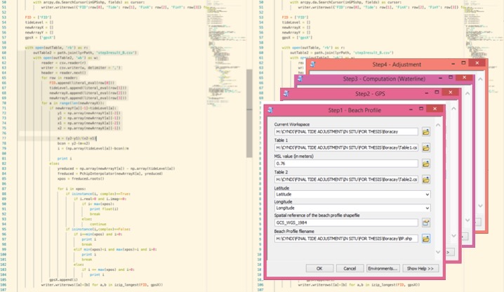
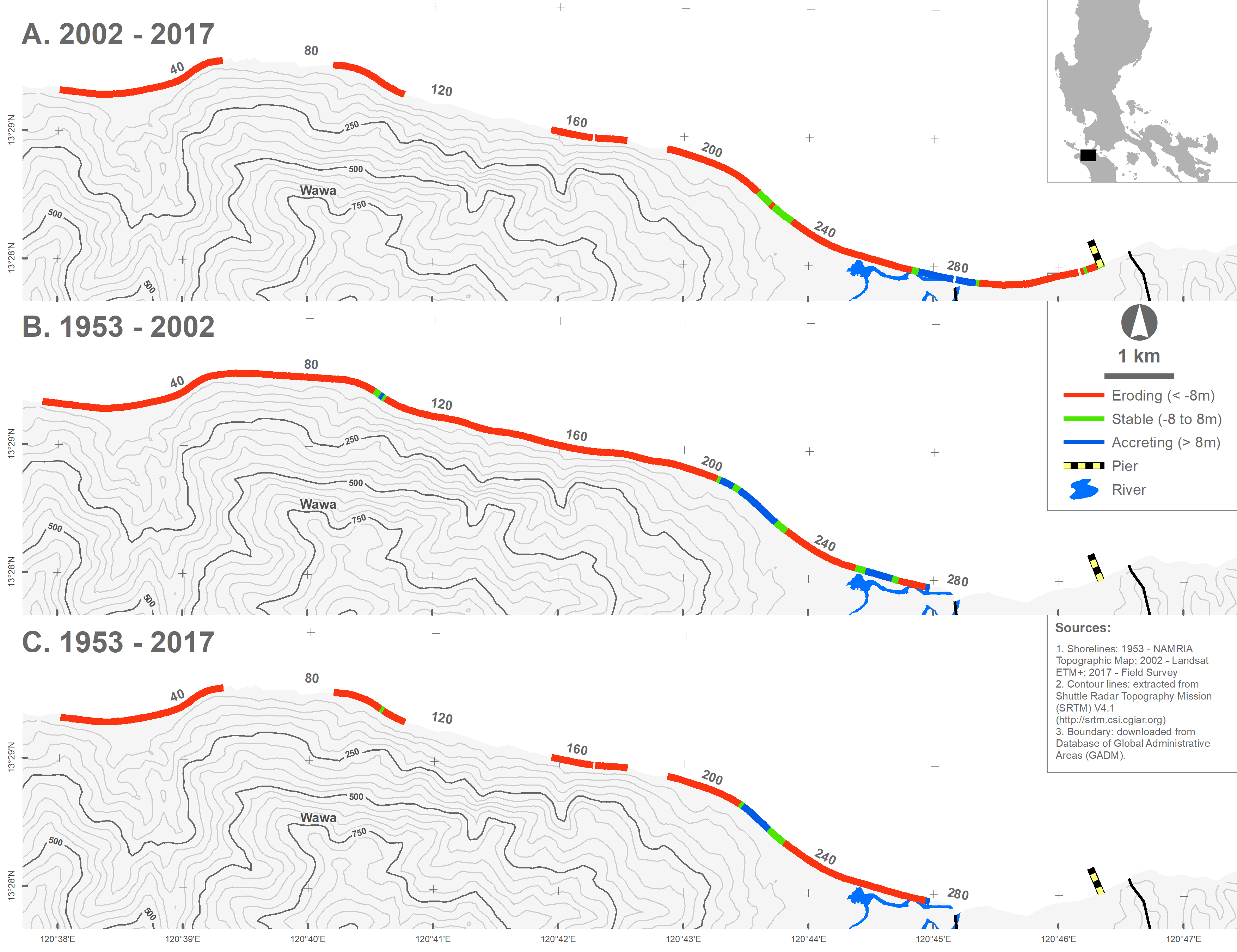
Extracts shorelines from Landsat ETM+ images and adjusts both the in-situ-based and landsat-derived shorelines to mean sea level (MSL).
View Code

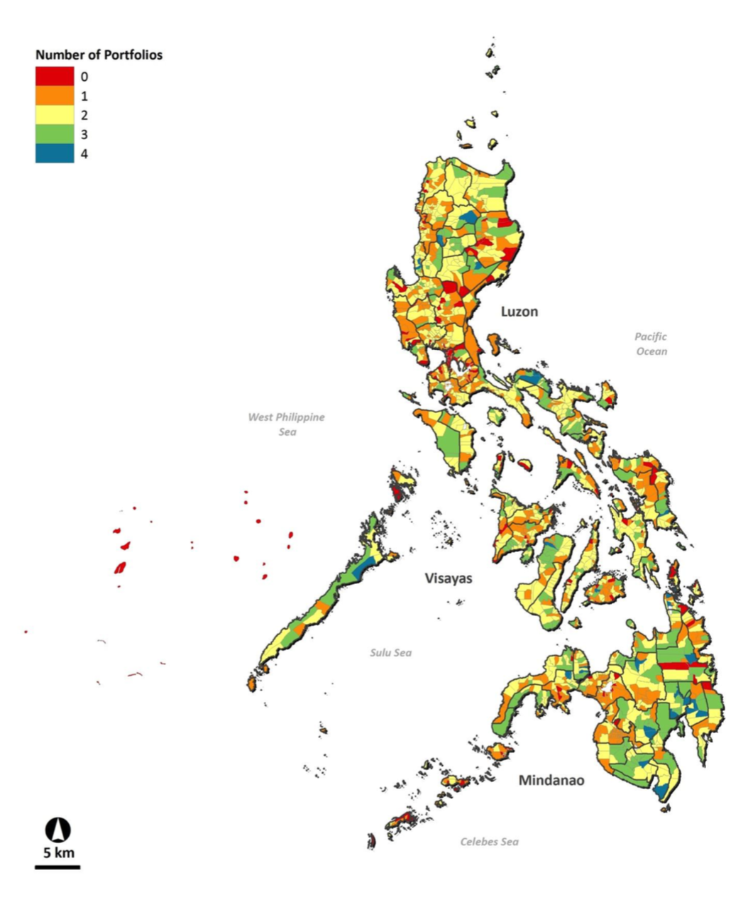
Database included a comprehensive building inventory of 10 cities in the
Philippines with information such as land use patterns, building footprints,
building geometry (height, number of storeys), structural classes, occupancy types, construction era, and building cost values.
Visit Project
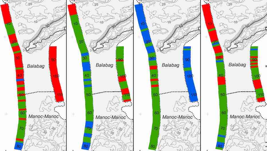
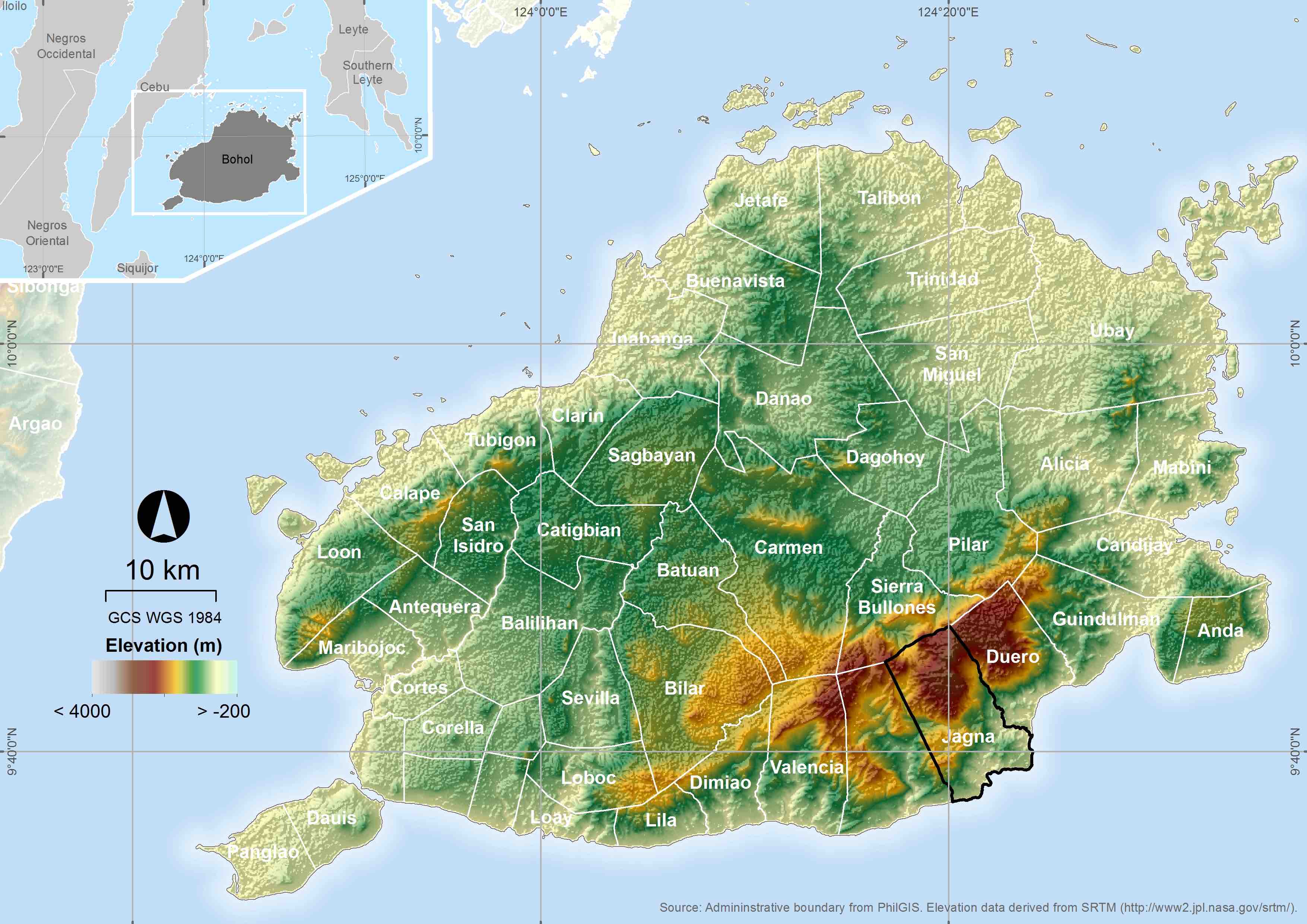
Generated nearshore bathymetric charts from combined LIDAR, single
and multi-beam data and established decadal, seasonal and event
generated shoreline changes in the five selected sites in the Philippines.
Visit Project